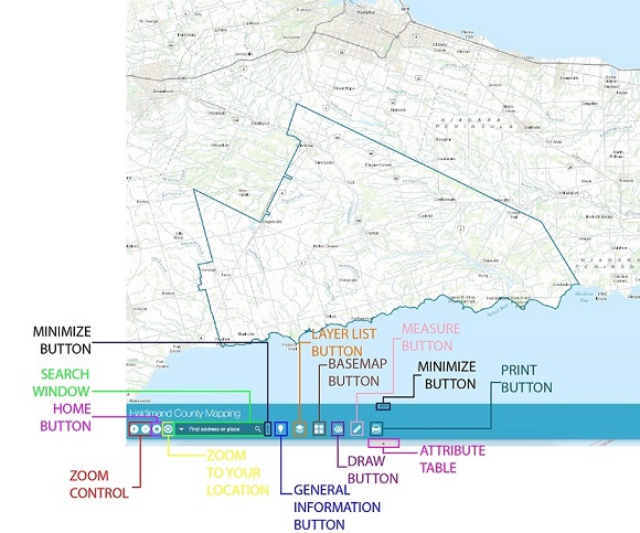
General Information Button
The most powerful tool in the GIS arsenal - gathering all associated information is now possible through one-click using the General Information tool. You can collect weather specific to the parcel, building permits, garbage collection, etc.
- Click the General Information Button
 The widget displays at the bottom of the map.
 - Select the Locate Incident Icon

- Click to add a point to the map
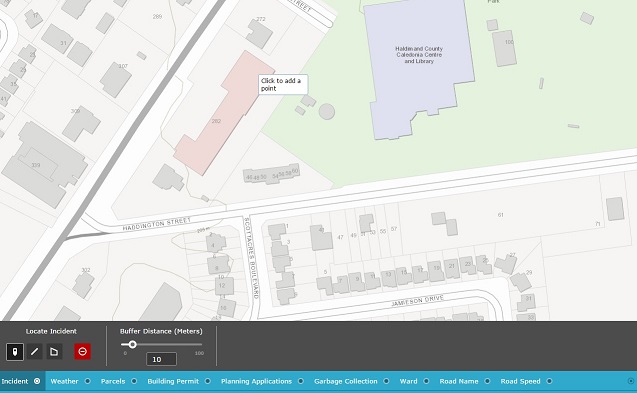
- Click on the tabs to gather more information
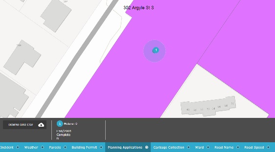
- You can also download the CSV file if you need the information. Just click the Download CSV

 The widget will pop up in the top left hand corner of the map.
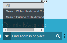
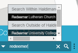
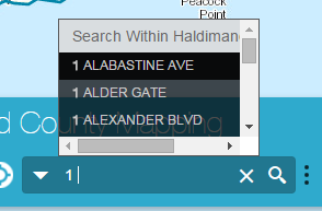 The information will pre-populate using suggested searches.
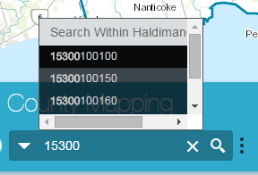
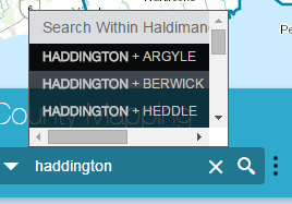
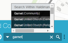 You can Search for Urban Areas (Caledonia, Cayuga, etc), Hamlets (Unity Side Road, Stromness, etc), and Lakeshore Nodes (Beckley Beach, Evans Point, etc)
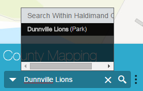
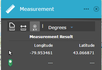
 Y
Y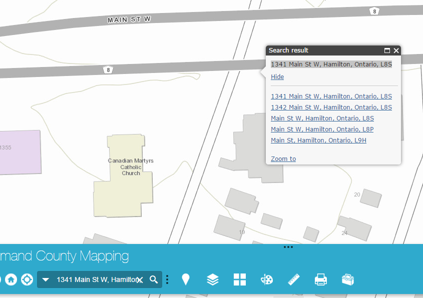
 from the main toolbar
 next to the layer you require to transform
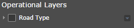

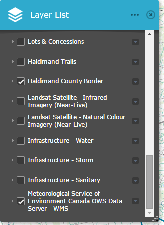

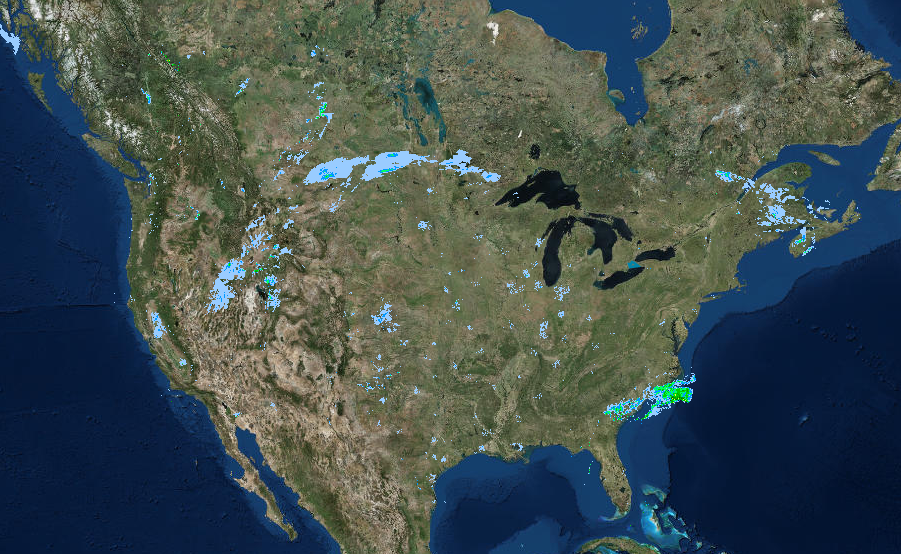
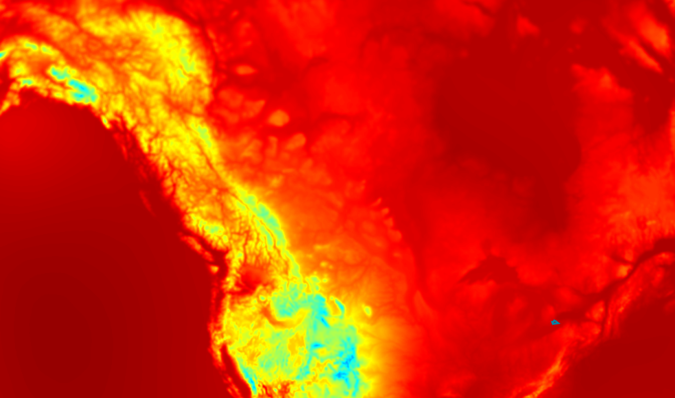 RDPS.ETA - SOIL COLUMETRIC ICE CONTENT (M3/M3)
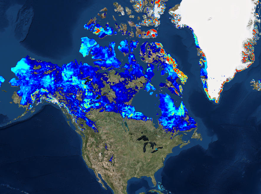 RDPS.ETA - SEA LEVEL PRESSURE (mb)
 from the main toolbar

 from the main toolbar
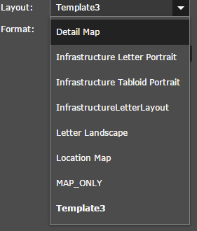
 and select the Location Map or Detail Map from the Layout Drop-down menu.