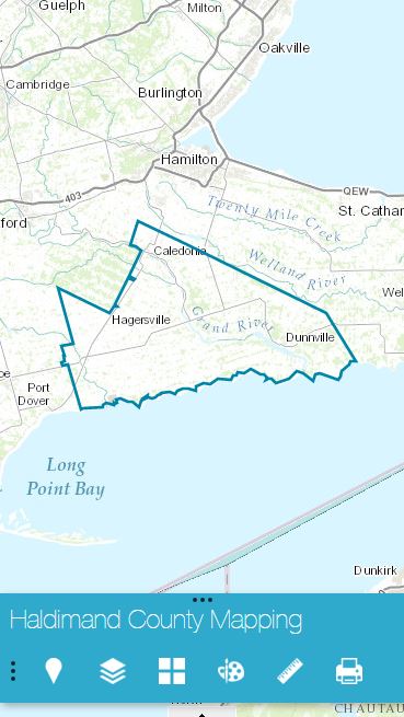
Hello From Haldimand Haldimand County
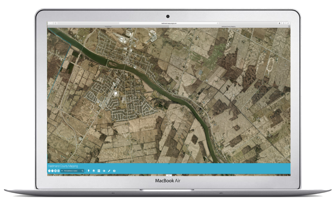
Historical, Aerial, and Satellite Imagery.
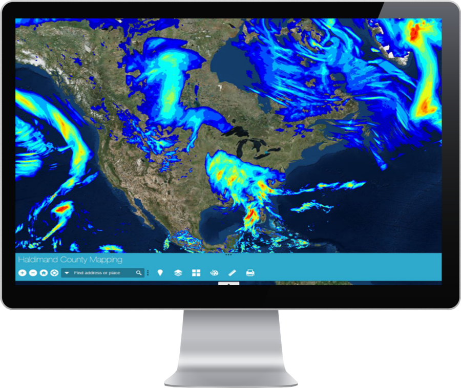
One-Click access to data streams for Weather, Land Planning, Building Permits, and much more.